by Slide Kelly
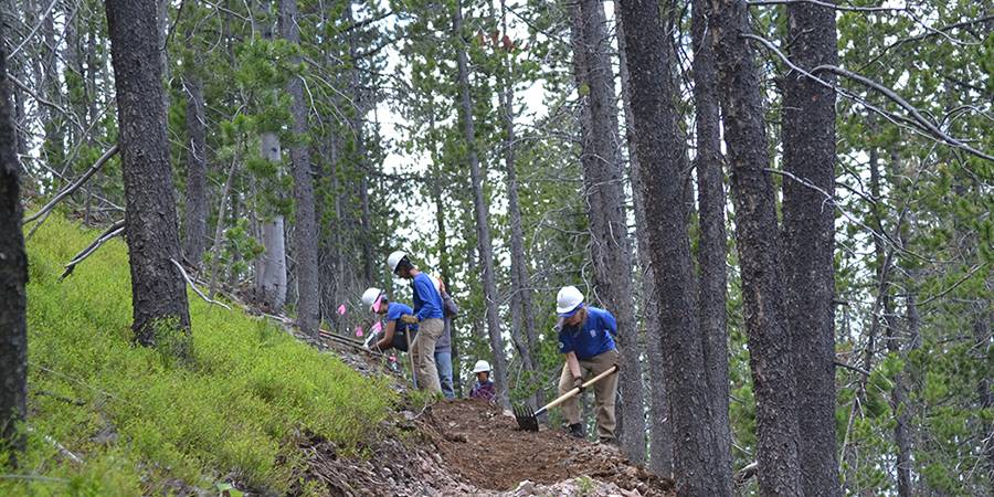
You may be familiar with CDTC’s mission, but do you know what we really mean when we say “complete the CDT”? As we work to teach folks how to access and steward the CDT, many people are surprised to learn that the Trail isn’t complete. Each year, our agency partners, professional crews, youth corps, dedicated local trail organizations, and passionate CDTC volunteers work together to make improvements to the CDT, which sometimes means rerouting the trail to a new location. Read on to find out about some exciting new improvements to the Trail in 2020!
New routes for the CDT are chosen for many different reasons. Whether they’re intended to bring the trail closer to the Divide, to move it off roads and onto single track, to open up better views, to allow people better access to the trail, or to provide a route with more water sources, reroutes are usually focused on creating a safer and more scenic experience for CDT users.
Version 3.0 of the CDTC Continental Divide Trail Map Set will be available to the public on March 18th (previously March 3rd) to allow us to incorporate waypoints from the Atlas Guides CDT hiking app and provide the best possible navigation resources for the CDT. In the meantime, check out these two beautiful new reroutes you’ll find on the CDT and in the map set in 2020!
Bridger-Teton
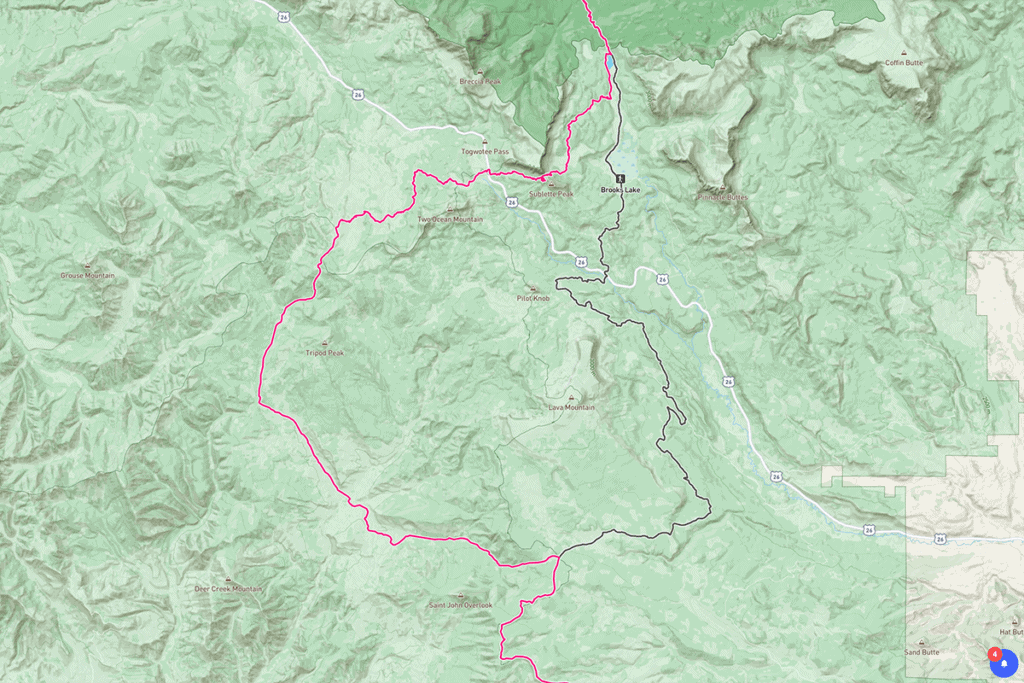
After several years of work by CDTC volunteer crews and the US Forest Service, a 29-mile reroute in the Bridger-Teton and Shoshone National Forests now takes travelers off of two-track roads overlooking Highway 26 and onto newly-constructed single-track in one of the most bio-diverse and intact alpine ecosystems in the nation. Travelers will now traverse mountain meadows and over lodgepole-dotted ridges with panoramic views of the Breccia Cliffs, now crossing Highway 26 at the scenic Wind River Lake pull-out site.
On the map below, the grey line shows the old CDT and the pink line shows the new CDT. (43.62233, -110.03462 to 43.79376, -110.01030)

Helena Haul
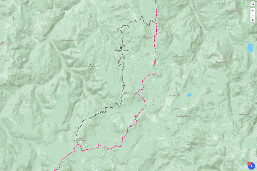
This 14-mile reroute in the Helena-Lewis and Clark National forest brings travelers onto newly-constructed single-track trail that significantly improves access to water and provides a little-disturbed forest experience. The single track then connects CDT users with a Forest Service road that follows the exact Continental Divide and cuts travel time between constructed trail sections.
On the map below, the grey line shows the old CDT and the pink line shows the new CDT. (46.38919, -112.39969 to 46.49289, -112.30414)

Look out for these reroutes in Version 3 of the CDTC Map Set, coming soon to our website and the Avenza Mobile app. Happy trails!
Slide Kelly is CDTC’s GIS Program Manager and creator of the CDTC Continental Divide Trail Map Set. He enjoys mapping the public lands of the Rocky Mountains almost as much as he likes exploring them himself.

