Maps & Data
CDT Map Set
Version 4.0 is here! Download the latest CDT map sets for the most current trail alignment, updated water sources, and more.
The Continental Divide Trail Coalition (CDTC) CDT Map Set covers the entirety of the official Continental Divide National Scenic Trail route at a scale of 1 inch = ½ mile. Each page includes topographic information, an elevation chart, water sources, and waypoint data. The maps are available for download as state or section bundles in three file types, serving hikers with a variety of navigation needs and trip lengths — from day hikes to thru-hikes.
New to the map sets? Check out our step-by-step tutorial on how to download free PDF section maps directly from the CDT Interactive Map.
While we work hard to provide the most comprehensive and up-to-date information in these maps, users are solely responsible for their own safety and planning while on the CDT. CDTC, the U.S. Forest Service, and any other parties are not responsible for errors, omissions, or inaccuracies in the maps or data. All information is subject to change. Please refer to multiple sources, including local land managers and the CDTC Closures & Alerts page, when preparing to travel on the CDT.
The CDT Map Set is a free public resource made possible by generous donations and support from the CDT community. If you find these maps useful, please consider making a donation to support their continued maintenance and production.
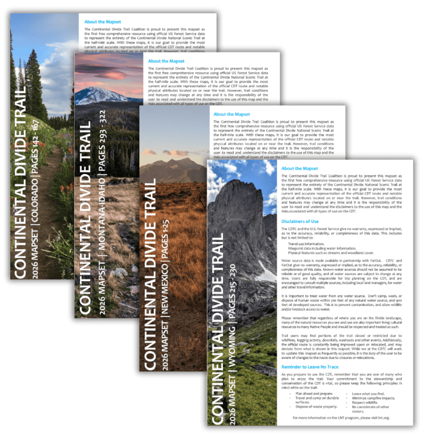 4th Edition
Updated CDT Map Sets — Free to Download
Our 4th edition map sets feature the most current CDT centerline data available, updated water sources, and new land ownership layers. Built in collaboration with the USFS and USGS at half-mile scale — available as complete state bundles or individual section maps.
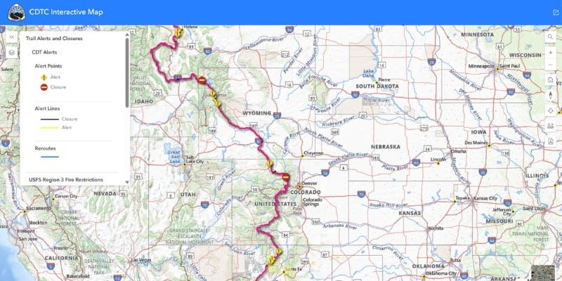
Interactive Map
Explore the full CDT route with toggleable data layers including water sources, closures, reroutes, Gateway Communities, and downloadable section maps.
Open the Map →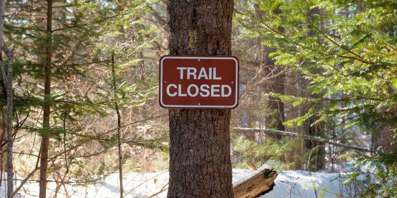
Closures & Alerts
Check current fire closures, reroutes, and trail alerts before you go. Updated regularly by our Trail Information team in coordination with land managers.
View Alerts →
GPX & KMZ Data
Download official CDT route data in GPX and KMZ formats for use with Gaia GPS, Garmin devices, CalTopo, Google Earth, and other navigation tools.
Download Data →Other Map Resources
Bear Creek Survey Maps – Developed by the former CDT organization and Jerry Brown of Bear Creek Survey, these map guides reflect the most current line data for the CDNST available. These guides will give you the most accurate way point data for the “official” CDNST route, including water sources, critical intersections and general know where you are or need to be information. The data contained in the CDT app is the same as what you will find on the Bear Creek Survey Maps, we highly recommend you combine these with Yogi’s CDT Handbook and Planning guides for the best adventure possible on the CDNST!
The map set by Johnathan Ley is free, popular, and printable at home.

Check out FarOut trail guides, official hiking App of the CDT!
CDT Planning Guide
The CDT Planning Guide is a one-stop resource for starting to plan a long-distance trip along the CDT. From which direction to travel, navigation and safety resources, and a comprehensive resupply chart, this guide provides a solid foundation for planning a CDT trip.
CDT Planning Guide – Digital Version
Produced by CDTC, the planning guide is available for free – we only ask for your contact information at checkout. We’ll send you updates about CDTC (no junk, we promise!) and you may opt out at any time.
CDT Planning Guide – Print Version
Click below to purchase the physical printed version of the CDTC planning guide. Your purchase directly helps support the CDTC!
Hiking Resources
Whether you have a few months to spend on the CDT or just an afternoon, the following resources can help you prepare.
Purchase The Atlas Of The CDT In Hard Copy
CDTC Official List Of 3,000 Milers
The Continental Divide Trail Coalition (CDTC) recognizes anyone who reports completion of the entire Continental Divide National Scenic Trail.