The Continental Divide Trail (CDT) unites us. From Gateway Community residents to thru-travelers, and everyone in between, our diverse community is connected by our mission to protect the CDT. We are showcasing stories of the people and places that make up our community with our series, Voices of the CDT. Each month, look out for new stories that highlight these diverse experiences, histories, and faces, against the backdrop of the awe-inspiring Continental Divide.
INTERESTED IN SHARING YOUR CONNECTION TO THESE LANDSCAPES? SEND US YOUR STORY AT [email protected] FOR A CHANCE TO BE FEATURED!
Chief Antero & Chief Shavano
UTE LEADERS AND NAMESAKES OF TWO 14,000 FOOT MOUNTAINS IN THE SAWATCH RANGE OF COLORADO
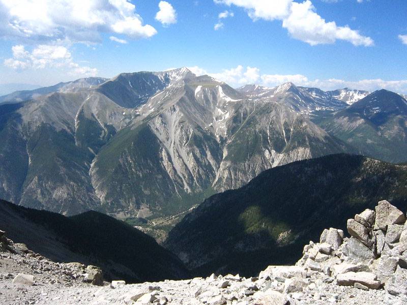
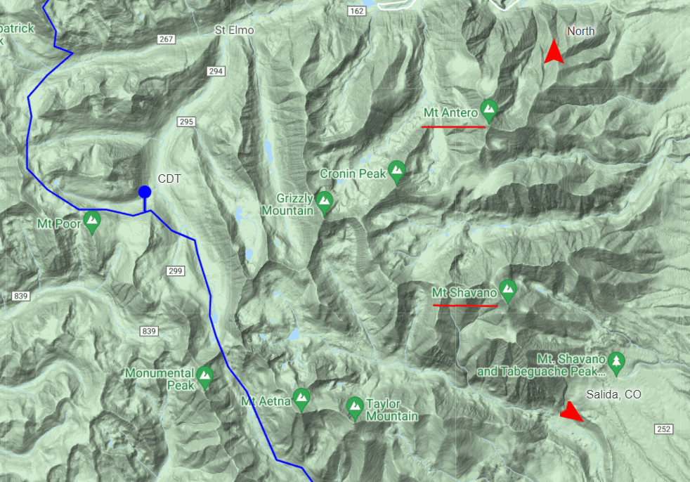
Just seven miles east of the CDT in the Sawatch Range of Colorado, two mountains over 14,000 feet named for Ute Tribal leaders—Chief Antero and Chief Shavano—rise from the Arkansas River Valley. A third peak in this range, Tabeguache Peak (named for the Tabeguache band of Ute, part of the Northern Ute People), is similarly named for the Indigenous history of the area, specifically that of the Ute people, who occupied the area for over six centuries before they were forcefully removed by White settlers.
Chief Antero of the Uintah band of the Ute Tribe was also known as Graceful Walker and was a key player in multiple treaties between the Ute people and settlers. Known as a proponent for peace, it is thought that his status as a peace-maker and his track record of cooperation with White settlers, in addition to his visits to the Sawatch Range area, may be the reason this mountain in the Sawatch Range holds his name. Despite spending most of his life in present-day Utah—specifically, near the Uinta Basin— Chief Antero’s name is on Mt. Antero in addition to a number of other areas in Colorado. Chief Antero was also known as White Eye because of blindness in one eye and he is thought to have had influence on the Uintah Reservation and with the local colonial government because of his cooperation with settlers.
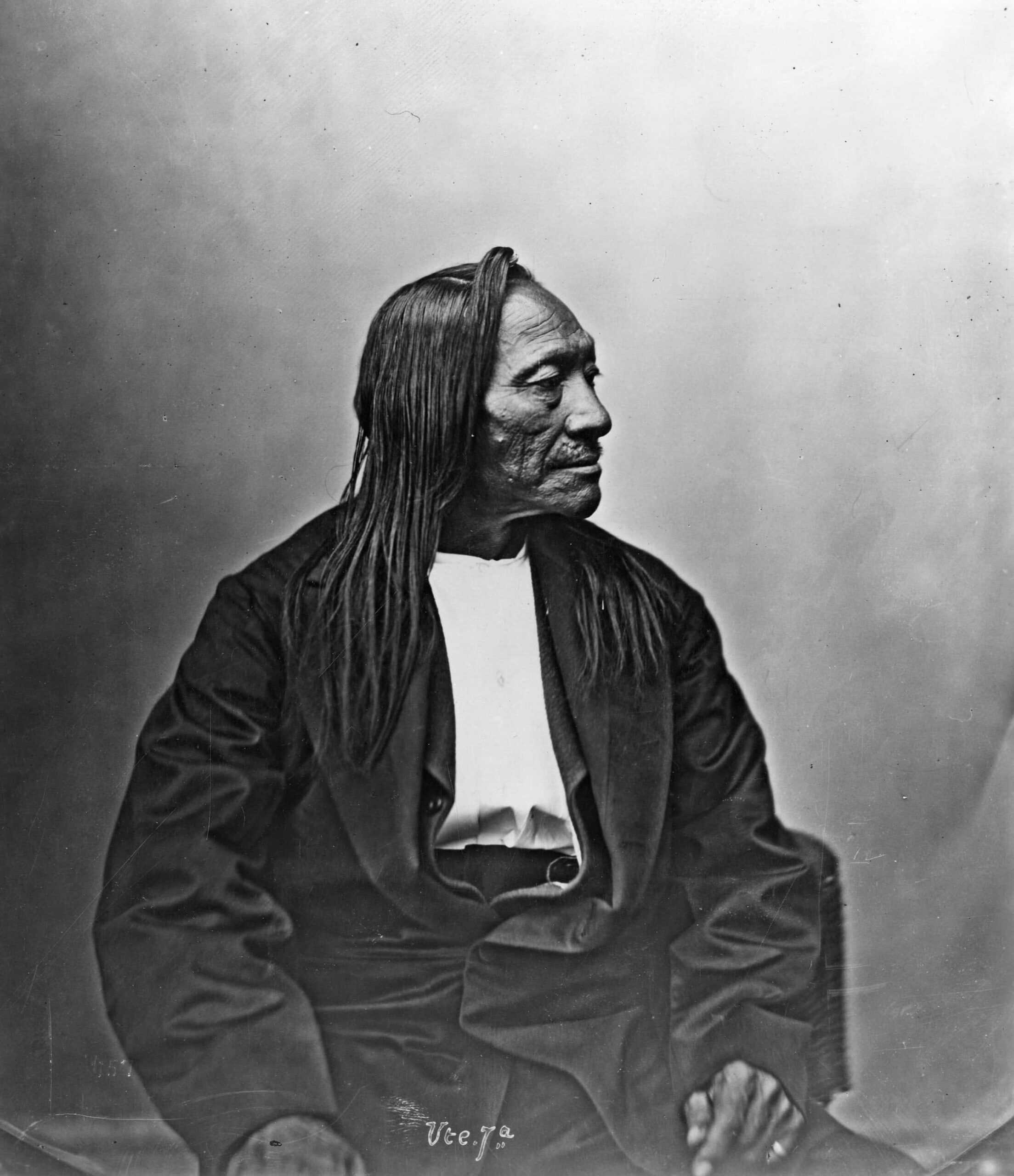
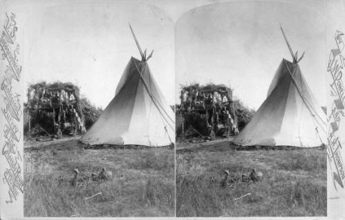
Chief Antero was the subject of photographs by John K. Hillers, a photographer who accompanied John Wesley Powell’s expeditions in the American West, suggesting that Antero and the people he led were part of Powell’s ethnographic studies as well. Chief Antero is also featured in the photographs of Alexander Gardner, a Scottish photographer known for capturing photos of the U.S. Civil War.
The name for Mt. Antero was first recorded in the 1870 atlas of the Hayden U.S. Government Survey.
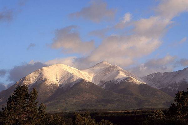
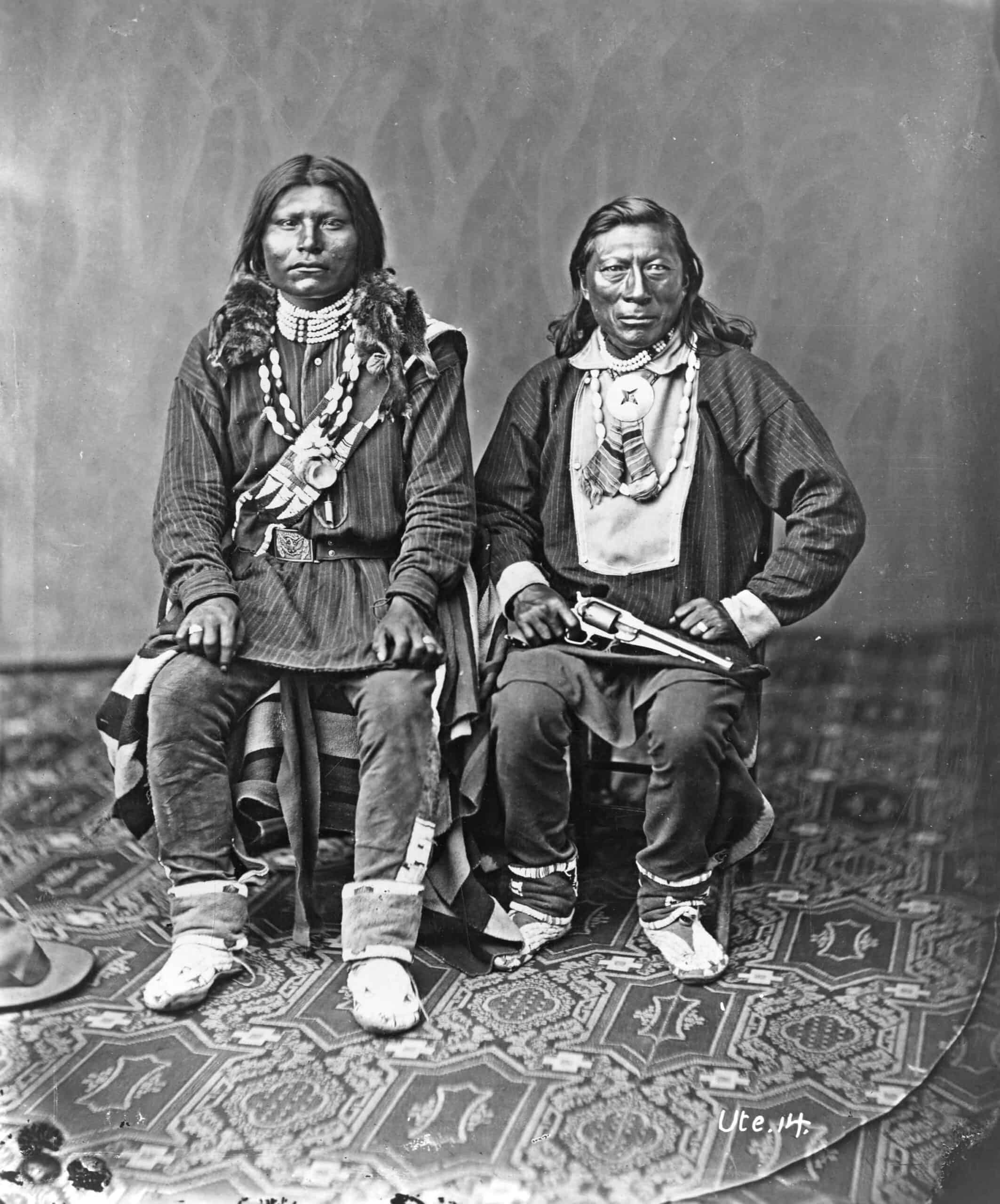
Chief Shavano was a leader of the Tabeguache band of Southern Utes and was known as a good friend of Chief Ouray. He was opposed to cooperating with White settlers and his resistance was vindicated when the Tabeguache Band of Utes was forcefully removed from Shavano Valley (southwest of present-day Montrose) with his wife, Chito, his six children, and the rest of their band to a reservation in Utah in 1881. Because of his resistance to cooperation, the settler government administrators in eastern Utah blocked him from assuming the role of formal chief after Chief Ouray died. Despite his hope to remain independent, he did sign the Brunot Treaty in 1873 (along with 132 other Native signatories) which allowed mining on the reservation by White miners as well as ceded most of the land in the San Juan Mountains to the U.S. Government. Chief Shavano traveled to Washington D.C. after this treaty was violated to sign a subsequent treaty and fight for better treatment for the Ute People. Shavano was a medicine man for his tribe, a practice that resulted in his death when he was not able to save a patient. The patient’s father fatally shot him twice when Shavano failed to cure his son in 1886.
The name Mt. Shavano first appeared on H.L. Thayer’s map of Colorado in 1875.
Read more about other peaks named for Native historical figures such as Chipeta Mountain, Mount Ouray and Pahlone Peak, and the naming of the Sawatch Range and other 14ers in Colorado.
