Steamboat Springs
Getting There
The closest international airport to Steamboat Springs is Denver International Airport (DIA), which is about 3 hours away via US-40 E and 1-70 E. The local airport is the Yampa Valley Regional Airport (HDN), which is about half an hour outside of town. In the winter it offers non-stop flights from several major airports around the country.
Getting Around
Steamboat Springs Transit
This free bus service offers riders transportation around the city to downtown and ski resort destinations.


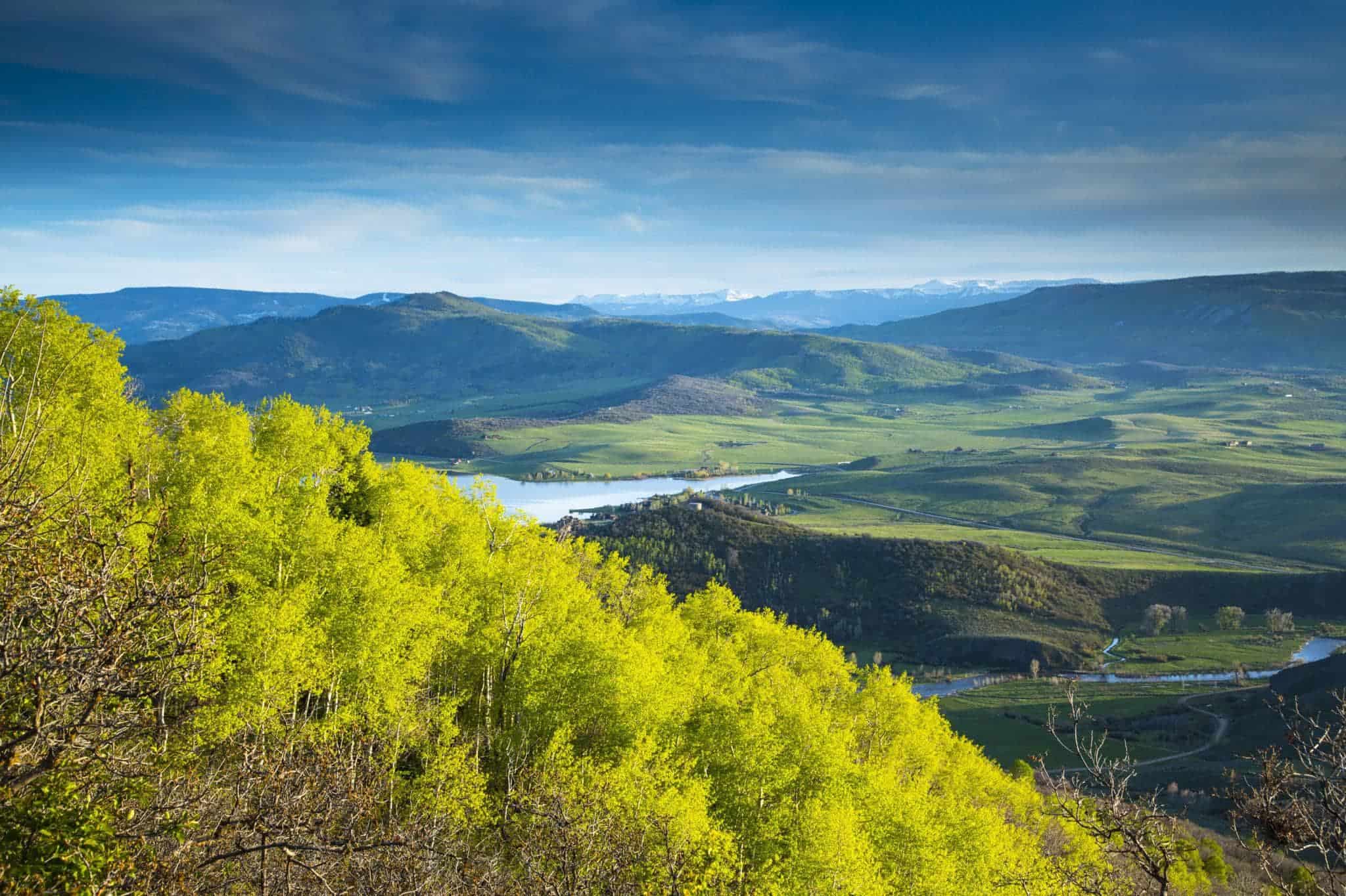
A Rocky Mountain destination in Northwest Colorado, Steamboat Springs is a year-round outdoor playground and a historic town where western heritage meets abundant adventure. From world-class skiing on Champagne Powder® in the winter months, Steamboat Springs has more Olympians than any other town in North America. Summers are filled with miles of single track, endless county roads, tubing the Yampa River and soaking in our famous hot springs, golfing among the peaks and valleys, and exploring the abundant lakes, rivers and streams that dot the landscape. Downtown Steamboat Springs pays tribute to its ranching roots with a renowned weekly rodeo, heritage shops and outfitters, and a culinary community that takes homegrown to new heights. Throughout the summer, Steamboat blooms with activity from Lincoln Avenue to the mountain base and beyond. Get up here and experience Colorado’s most authentic mountain town.
Getting To The Continental Divide Trail
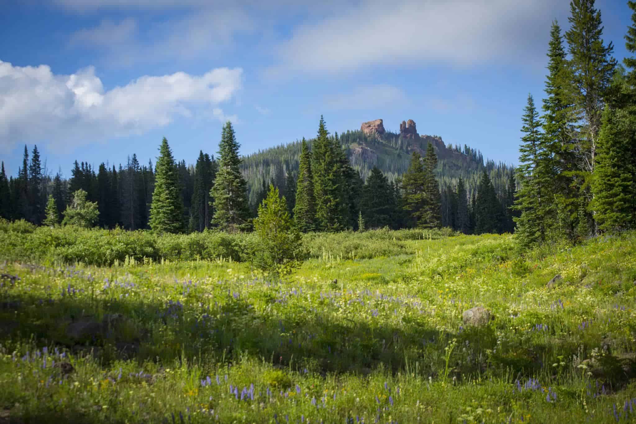
The Continental Divide Trail travels roughly north/south through the Medicine Bow-Routt National Forest to the east of Steamboat, from Rabbit Ears Pass to the border of Wyoming. Between Rabbit Ears Pass and Buffalo Pass, the CDT meanders through the mountains and winds its way past several beautiful lakes, from Dumont Lake in the south, past Fishhook Lake and Lost Lake, and up to Summit Lake at Buffalo Pass. North of Buffalo Pass, the trail enters the scenic Mount Zirkel Wilderness, where it climbs up above the treeline and passes along the flanks of Mount Ethel and Lost Ranger Peak.
South of Rabbit Ears Pass, the CDT follows Hwy 40 and Hwy 14 for a combined 12 miles before venturing onto dirt Forest Service roads and then finally following singletrack. CDTC is working with the Forest Service and Bureau of Land Management to fill in this significant gap and move the CDT off of the highway and onto public lands. Learn how you can help with Trail Completion here.
Dumont Lake Campground
Take US-40 East to Dumont Lake Campground. From here you can hike northbound on the CDT to Rabbit Ears Pass.
Buffalo Pass
From downtown, take 6th St northeast to N Park Rd. Make a left on N Park Rd, then right onto Strawberry Park Rd. Turn left on Routt County Road 36, then right onto County Road 38. Follow County Road 38 for 10.8 miles, then turn right onto FR 60. At Buffalo Pass, you can hike south on the CDT towards Rabbit Ears Pass, or follow the trail north into the Mount Zirkel Wilderness.
Ten things to do in Steamboat Springs
Take a soak in the Hot Springs
Tube the Yampa River
Experience the Arts
Take a ballooning adventure
Discover Fish Creek Falls
Enjoy the Yampa River Botanic Park
Indulge in happy hour on the Yampa River
Horseback ride through the wide open Yampa Valley
Flyfish the Elk River
Visit the local farmers market
Suggested Hike
Hiker Resources
- wifi
- camping/ lodging
- showers
- food
- laundry
- camp supplies
- Steamboat Springs Post Office
- 200 Lincoln Ave, Steamboat Springs
- CO 80487
- 970-879-8360
- Safeway
- 37500 E US Hwy 40, Steamboat Springs
- CO 80487
- 970-879-3766
- City Market
- 1825 Central Park Dr, Steamboat Springs
- CO 80487
- 970-879-3290
- Natural Grocers
- 335 Lincoln Ave, Steamboat Springs
- CO 80487
- 970-871-0100
- Bud Werner Memorial Library
- 1289 Lincoln Ave, Steamboat Springs
- CO 80487
- 970-879-0240
- Ski Town Cleaners
- 2179 Curve Plaza, Steamboat Springs
- CO 80487
- 970-871-4698
- Old Town Hot Springs
- 136 S Lincoln Ave, Steamboat Springs
- CO 80487
- 970-879-1828
- Visitor Center
- 125 Anglers Drive, Steamboat Springs
- CO 80487
- 970-879-0880
- BAP/Big Agnes Factory Store
- 735 Oak St, Steamboat Springs
- CO 80487
- 970-879-7507
- Straightline Outdoor Sports
- 744 Lincoln Ave, Steamboat Springs
- CO 80487
- 970-879-7568
- Ski Haus International
- 1457 Pine Grove Rd, Steamboat Springs
- CO 80487
- 970-879-0385
- Christy Sports
- 1835 Central Park Dr, Steamboat Springs
- CO 80487
- 970-879-1250
- Steamboat Springs KOA
- 3603 Lincoln Ave, Steamboat Springs
- CO 80487
- 970-879-0273
