U.S. Forest Service
Gila National Forest
3005 Camino del Bosque
silver City, NM 88061
Voice: 575-388-8200
Web: www.fs.usda.gov/gila
March 21 UPDATE – The Silver City Ranger District is assessing conditions in preparation for burning the 3,400-acre Willow Prescribed Fire project in the Burro Mountains next week. Given suitable fuel and weather conditions, crews may ignite portions of the planned prescribed fire unit as early as Monday, March 27, continuing ignitions for approximately 5 days.
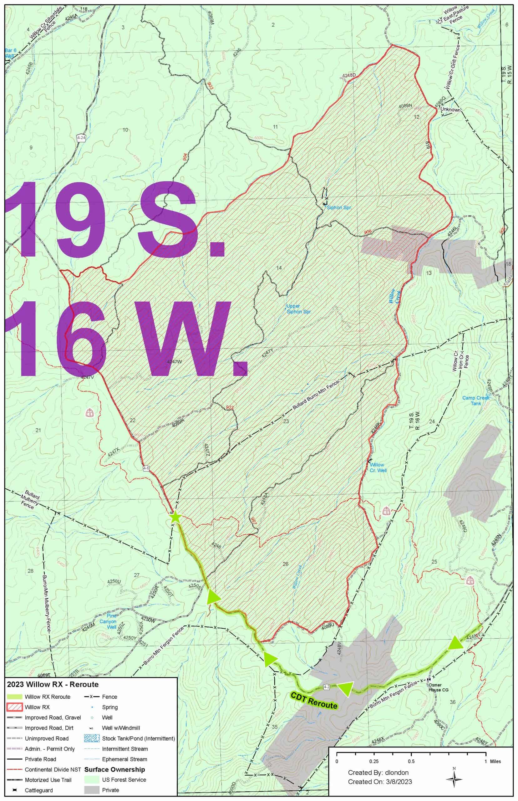
MARCH 20 UPDATE – Gila NF plans to begin ignition for the prescribed burn in the Burros the week of March 27, 2023. It should last 3-4 days. (Closure map below.) The NF will cache 10 gallons of water at each end of the closure for trail users.

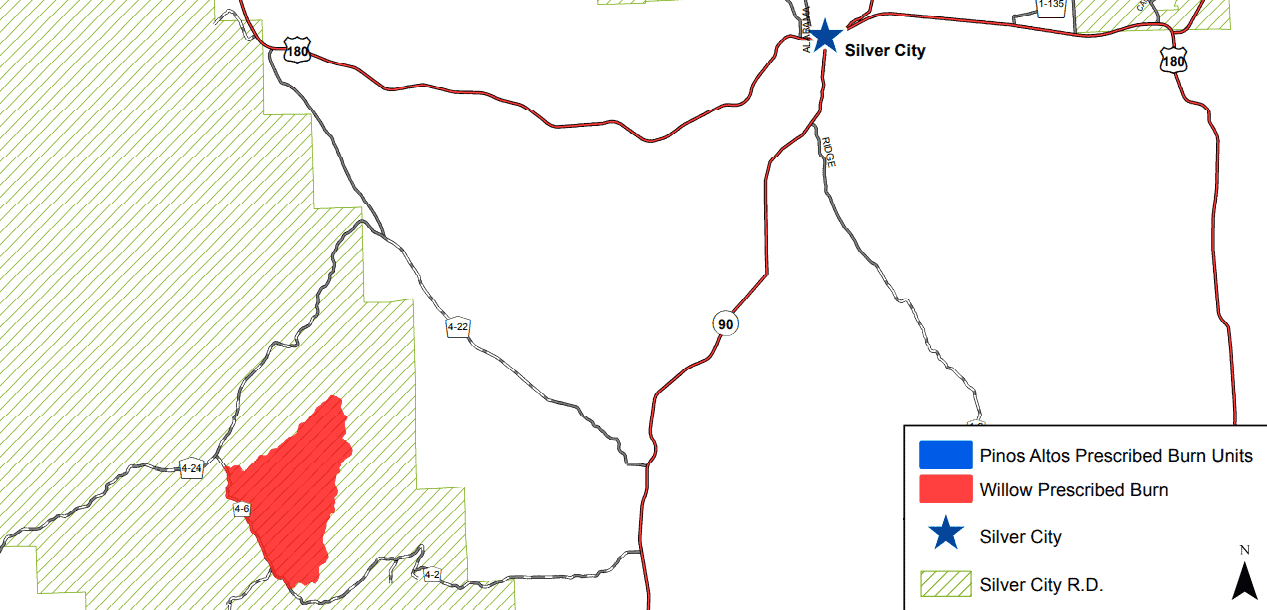
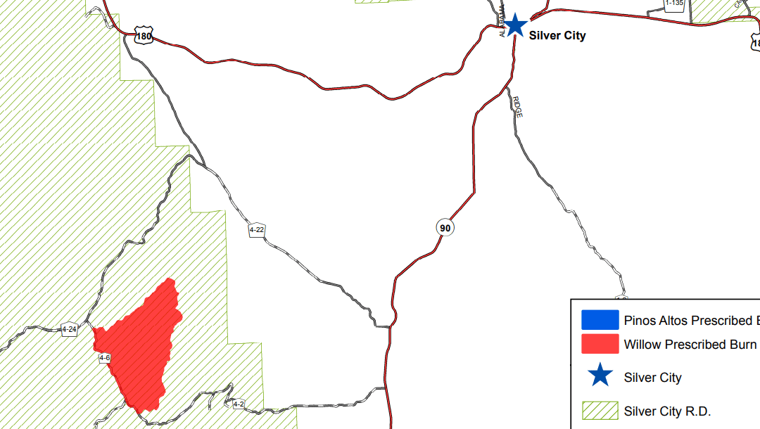
MARCH 8– The Silver City Ranger District is planning to burn two prescribed fire projects, including the 3,400-acre Willow Prescribed Fire project in the Burro Mountains
and the Pinos Altos Prescribed Fire project, which consists of multiple 2- to 20-acre units in the Bear Creek drainage. Both projects will be burned in phases between March 27 and late May 2023. The exact dates of implementation are subject to change based on weather and fuel conditions this spring. The Willow prescribed fire is designed to protect and enhance wildlife habitat and improve range forage. Both prescribed fire projects will protect private infrastructure in the wildland urban interface by reducing
hazardous fuels and fire intensities if a wildfire were to occur. Smoke production is expected to be minimal and localized. Fire managers will monitor fuel conditions and weather to determine the appropriate time to implement.
The Willow project is located east of Grant County Road 4-24 (Redrock Road) and adjacent to the Sawmill Prescribed Fire that was completed in the spring of 2021. A short segment of the Continental Divide National Scenic Trail passes through the burn area – a reroute will be identified to be used during project implementation. Anticipate road, trail, and area closures during this project to ensure firefighter and public safety. Once ignition begins, the project will last for approximately two weeks.
The Pinos Altos project will occur throughout the spring when conditions are favorable for introducing low-intensity fire into ponderosa pine stands. The project is located along the west side of New Mexico Highway 15, in Bear Creek drainage adjacent to the Continental Divide Trail, across from the Arrastra Site. These small burn units will help to protect the community of Pinos Altos and build upon ongoing work by our partners with the State of New Mexico and Bureau of Land Management. There will be smoke impacts to the town of Pinos Altos, residents in the Bear Creek drainage, and Highway 15. Expect intermittent delays on Highway 15 and temporary closures of the Continental Divide Trail during implementation.


