Day/Section Hiking
The CDT abounds with great opportunities for day and section treks and activities!! Whether you have a few days to spend or just an afternoon, here’s what you need to know to enjoy your adventure along the Divide.
Find Your Next CDT Hike
Tennessee Pass to Timberline Lake, Pike and San Isabel National Forest
Heading south from the Tennessee Pass Trailhead, this section of the CDT overlaps with Segment 9 of the Colorado Trail. The path is mostly level as it winds gently up […] LEARN MORE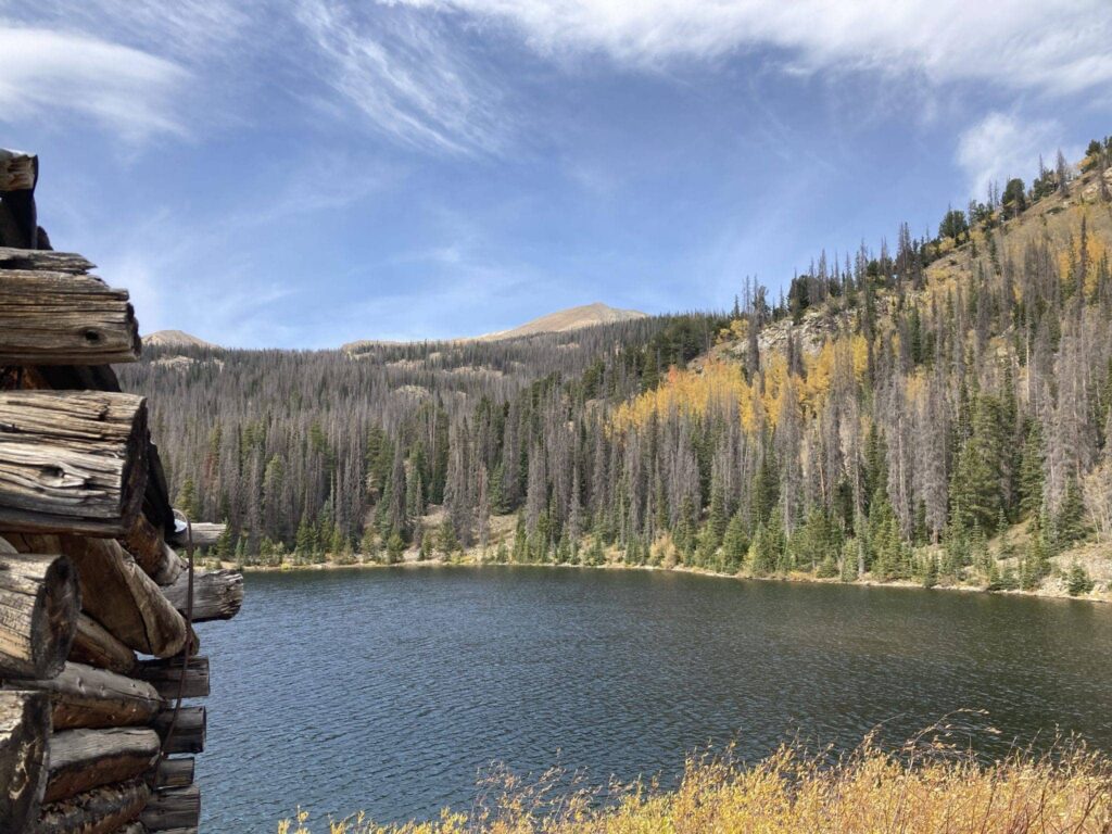
Boss Lake Reservoir, San Isabel National Forest
This hike starts with a moderately graded walk up Forest Road 230. Depending on the season, you will get views of the mountains above the lake through the trees as […] LEARN MORE
Wolf Creek Pass (Lobo Trailhead) to Rock Lake, Rio Grande National Forest
At 10,859 feet, Wolf Creek Pass is the low point in the mountains between some of the wildest and most beautiful landscapes in the state. It is one of the […] LEARN MORE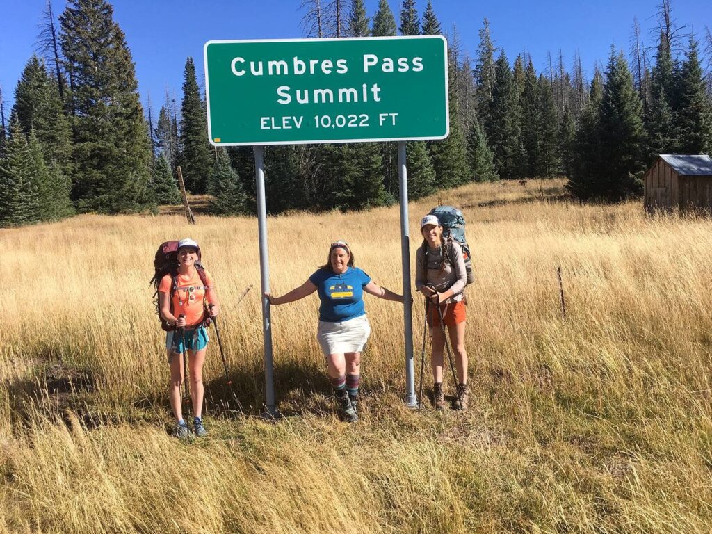
Cumbres Pass on the CDT, Colorado and New Mexico Border
Experience the West’s great railroad history firsthand! Take a ride from Antonito, CO, to Cumbres Pass just north of the Colorado-New Mexico border on the historic Cumbres & Toltec Scenic […] LEARN MORE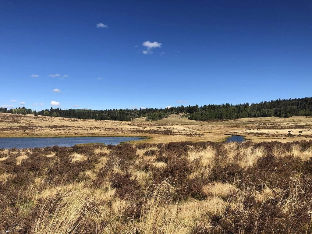
Overnight on the CDT from Hopewell Lake, Carson National Forest
Camp at Hopewell Lake Campground and set off on two day hikes — one headed north, the other headed south on the CDT. To the south, the CDT meanders through […] LEARN MORE
Mesa Portales, BLM Albuquerque
Explore the sandstone cliffs and piñon-juniper woodlands of Mesa Portales while taking in panoramic views of nearby mesas, Cabezon Peak, and the Nacimiento and Sandia Mountains. Begin by following the […] LEARN MORE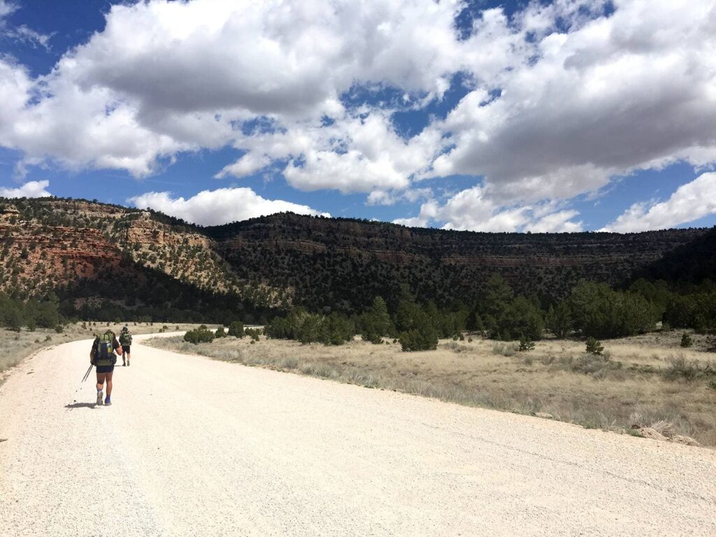
Tsoodził (Mt. Taylor), Cibola National Forest
Leave from the Gooseberry Springs Trailhead across the road from the parking lot. While this hike is 6.2 miles, it is considered moderate to difficult due to the 2,000 feet […] LEARN MORE
Lake Roberts/Hwy 35 to Sapillo Creek, Gila National Forest
This is a great hike, especially if you would like to spend a night at Sapillo Campground. Leaving Hwy 35 and hiking north on the CDT you will get to […] LEARN MORE
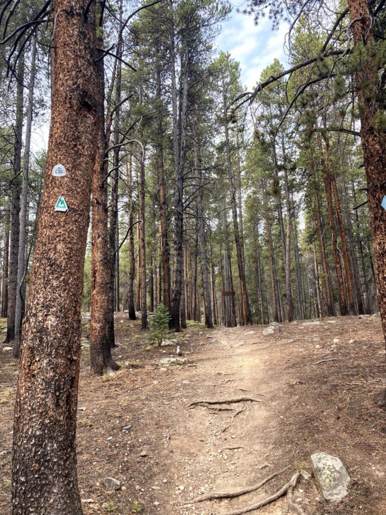
Little Walnut Trail, Gila National Forest
This trail offers an easy opportunity to experience the CDT. There are a few spots that are a bit rocky and a couple short uphills, but overall this section of […] LEARN MOREMinimize Your Impact
Want to learn how best to minimize your impact outdoors? When you follow the 7 Principles of Leave No Trace, you’ll help make sure the trail stays healthy for years to come.
Join Us At An Event
CDT communities host community events and hikes throughout the year.
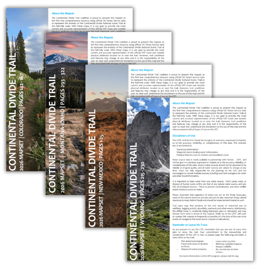
CDT Map Set
Version 4.0 is here! Download the latest CDT map sets for the most current trail alignment, updated water sources, and more.
The Continental Divide Trail Coalition (CDTC) CDT Map Set covers the entirety of the official Continental Divide National Scenic Trail route at a scale of 1 inch = ½ mile. Each page includes topographic information, an elevation chart, water sources, and waypoint data. The maps are available for download as state or section bundles in three file types, serving hikers with a variety of navigation needs and trip lengths — from day hikes to thru-hikes.
New to the map sets? Check out our step-by-step tutorial on how to download free PDF section maps directly from the CDT Interactive Map.
While we work hard to provide the most comprehensive and up-to-date information in these maps, users are solely responsible for their own safety and planning while on the CDT. CDTC, the U.S. Forest Service, and any other parties are not responsible for errors, omissions, or inaccuracies in the maps or data. All information is subject to change. Please refer to multiple sources, including local land managers and the CDTC Closures & Alerts page, when preparing to travel on the CDT.
The CDT Map Set is a free public resource made possible by generous donations and support from the CDT community. If you find these maps useful, please consider making a donation to support their continued maintenance and production.
 4th Edition
Updated CDT Map Sets — Free to Download
Our 4th edition map sets feature the most current CDT centerline data available, updated water sources, and new land ownership layers. Built in collaboration with the USFS and USGS at half-mile scale — available as complete state bundles or individual section maps.
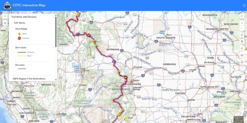
Interactive Map
Explore the full CDT route with toggleable data layers including water sources, closures, reroutes, Gateway Communities, and downloadable section maps.
Open the Map →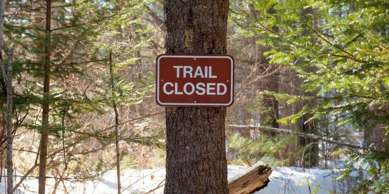
Closures & Alerts
Check current fire closures, reroutes, and trail alerts before you go. Updated regularly by our Trail Information team in coordination with land managers.
View Alerts →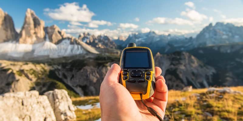
GPX & KMZ Data
Download official CDT route data in GPX and KMZ formats for use with Gaia GPS, Garmin devices, CalTopo, Google Earth, and other navigation tools.
Download Data →Safety
The CDT is a world-class destination for year-round recreation, enjoying it comes with the inherent risks of the backcountry. We want to remind all trail users that you are responsible for your own safety, and your knowledge and equipment are your own first line of defense in an emergency situation. In the case of an emergency on the Continental Divide Trail, always call 911 or a local emergency number before reporting the incident to CDTC.
Being prepared with knowledge, equipment, and planning can help mitigate many of the risks associated with hiking and camping along the CDT.
Always CALL 911 if possible during an emergency situation. If you do not have cell phone service, attempt to call 911 anyway; carriers outside of your phone plan are required to place emergency calls if they are available. A Spot device or another type of satellite messenger may also provide another communication option, although it does not guarantee your safety.
If you see something, say something. We’ve developed an incident report form that can be used to alert us of emergency situations after you’ve reported them to police, report all trail emergencies, incidents, suspicious activities, resource damage, or information on missing or suspicious persons on the Continental Divide Trail to local rangers or law enforcement officers as soon as possible, then use this form to report to and document with the Continental Divide Trail Coalition (CDTC). This form can be completed electronically and e-mailed as an attachment to [email protected], or printed, completed, and then mailed to: Incidents, CDTC, 710 10th St., Ste. 200, Golden, CO 80401.
We suggest the following general safety rules:
1. Leave an itinerary with a trusted person at home. For thruhikers, having a plan in place for your support person when you miss a check-in is important. However, please note that some areas along the CDT are very remote and may not have cellphone service, including common alternates to the official trail. Using satellite beacons or similar will have greater reliability of messaging, if you intend to check-in directly from trail.
2. Trust your intuition. If a particular place or a person gives you an off feeling, trust your gut and get out of the situation as soon as possible. It’s better to trust your judgment and stay safe.
3. Camp away from roads, and be aware that anywhere people congregate, like campgrounds, may have greater risk of human-based incidents.
Always CALL 911 if possible during an emergency situation. If you do not have cell phone service, attempt to call 911 anyway; carriers outside of your phone plan are required to place emergency calls if they are available.