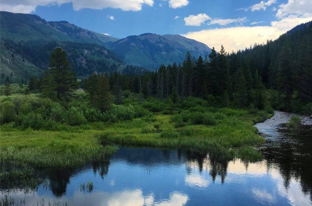
As we ask CDT supporters to take this year’s Pledge to Protect, we wanted to help teach some of the ways you can best be a steward of the CDT! This post comes from our friends at Yampatika who do important work to teach environmental stewardship for all
By Lauren Hughes, cover photo by Matt Berger
Strong, dirty, exhausted people with packs full of gear, food, and emergency supplies stick their thumbs out on the side of the road, asking for a ride to the trailhead. Perhaps this is a familiar sight to some of you living in the West during the summer. More specifically, this may be a familiar sight to those of us that live near the Continental Divide.
The Continental Divide Trail, the 3,100-mile-long trail that supports travelers from Mexico to Canada, follows the Continental Divide of the Americas. This divide is also known as the Great Divide. Though every continent on earth except for Antarctica has a continental divide, the Great Divide is notable for those of us who have our homes near the Rocky Mountains.
The Continental Divide, like other drainage divides, determines where water will go once it meets land. Precipitation that falls in the US to the west of the Divide will eventually flow into the Pacific Ocean. Water that falls to the east of this drainage will instead travel a path that takes it to the Atlantic Ocean.
Many headwaters of the rivers of the United States begin at the Continental Divide. The Mississippi and the Rio Grande may ring a bell for those of you on the eastern side of the Divide, whereas the Colorado River is the river that supports my neck of the woods here on the Western Slope of Colorado.
If you look at a map of the United States and the Continental Divide that runs through it, you may notice something strange. The Continental Divide separates our nation’s watersheds, but it also seems to separate the population density of the West, and more specifically, the state of Colorado.
The Continental Divide portion that runs through the state of Colorado separates it quite naturally into the Front Range and Western Slope. The Western Slope includes towns like Grand Junction, Aspen, Steamboat Springs, and Durango. The Front Range includes Denver, Fort Collins, and Colorado Springs. Take a moment to picture these two very different regions of the state.
Did you picture the ski resorts on the Western Slope and the buzzing cities on the Front Range? The Continental Divide acts as a natural sort of barrier when we think about the population of Colorado. For early white settlers, it was easier to settle on the Front Range instead of passing through the mountainous divide. Thus, large cities such as Denver, the traditional lands of the Arapaho people, were settled in the shadow of the Rockies. 80% of the population of Colorado resides on the Front Range. The Western Slope’s cities and towns, on the other hand, have smaller populations. Only 20% of Colorado’s population resides west of the Continental Divide.
But, where is the water?
Though most of the population lives on the eastern side of Colorado, most of the water resides in the rivers located in the western part of the state. Roughly 80% of the water in Colorado falls to the west of the Continental Divide. Only 20% makes it over the Divide and falls east, onto the areas where the majority of the people live. This is known as a rain shadow, where much of the precipitation (in our case, primarily snow) falls on the windward side of a mountainous region and is significantly reduced on the leeward side.
This inequity in population vs. water has created some challenges for the people of Colorado that we are still wrestling with today. In addition, the seven states (CO, NM, WY, NV, CA, UT, AZ) of the Colorado Basin are facing further issues on a wider scale. The Colorado River Compact, an agreement signed in 1922 that governs the distribution of water rights for the 40 million people that rely on water from the Colorado River, is up for reassessment this coming year. Instead of delving deeply into these issues, however, I have a challenge for the readers:
Find out where your water comes from. From what watershed do you obtain most of your water? In which Basin do you live? Are there any water-related issues your community is currently facing or will face in the near future?
Take the time to understand what water means in your area and your daily life. Then, take a hike!

